Showing posts with label Warratah Bay. Show all posts

3 January 2011

Day 9: so where am I, and where's north?

Route: Warratah Bay-Walkerville-Tarwin Lower-Venus Bay-Inverloch-Wonthaggi-Dalyston-Woolamai-Bass-Grantville-(around in circles for a while)-Nyora-Lang Lang-Koo Wee Rup-Cranbourne-Frankston-Chelsea

Distance covered: 275km (very approx.)

Today was most likely the longest day of the trip so far, but due to a non-functioning odometer and a non-functioning sense of direction, I shall likely never know for certain.

I usually have an excellent sense of direction. Once in a while, however, I lose it completely. As I did today.

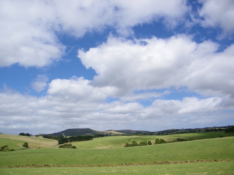
At this stage, I still knew where I was

Starting the day off in Warratah Bay, I set off for Walkerville, quickly realising that when I reached a boat ramp that I had made the same error as yesterday, namly not noticing on the map that the road was a dead end. The view was worth it, though:


Retracing my path, I motored through Tarwin Lower to Venus Bay, hoping for a scene that lived up to the place's name. Clearly Venus was not in a good mood, as memorable as the view was, it was anything but serene, with the wind blowing strongly and the waves pouding onto the shore.


Inverloch was riden through on the way to Cape Patterson, where the windswept dunes and crashing surf impounded a feeling of desoution into me. Wonthaggi was quickly behind me and I turned off the highway at Dalyston for a more enjoyable ride to Bass.


Sweeping hills, cliffs and overhanging trees lined the road for the first segment, before opening up onto a plain. Getting low on fuel, my destination was in sight - the Big Earthworm:


Spending far longer with it than it deserved, I rode a short stretch on the dual carriageway to Grantville for fuel, before turning eastwards for the road to Nyora.


It was at this stage I discovered just how bad my sense of direction was. Whilst the map I have may not contain every road on it, and not having a working odometer or speedometer and no watch makes it difficult to estimate distance covered, the biggest issue was the rider, who managed to completely lose any sense of direction.

I did find this bridge, however

This complete loss of sense meant that frequent doubling back, riding roundabout ways to cover short distances and generally far more distance than should have been necessary ensued.

And this tree

Reaching Nyora, I nearly ended my trip at that point by completely not seeing a 'Give Way' sign, carrying on through it and then noticing a ute and horse trailer enter it from the side about a second after I did. Gulp.

Highlight of the day came shortly after the near-premature end to the day. Riding down a dirt road, I turned a corner and found the road covered by ducks. Yes, ducks. Dozens of them, happily sitting in the middle of the road. By the time that I got my camera rady, most had disappeared, but a few considered reoccupying the road even before I had ridden off:


Moving on, my sense of direction failed once more and I eventuallyended up on the wrong main road heading in the wrong direction. On the positive side, my dirt track skills are now at a much higher level than they were before this trip, and I am happy riding at full throttle on most dirt roads, corrugations permitting.


Eventually reaching Lang Lang, which hadn't been my intended destination, I set off for Koo Wee Rup, choosing to rely on my instinct again. This time I wasn't too badly off, and the route taken, whilst not the intended one, did get me there. From Koo Wee Rup, it was a straight ride to Cranbourne and Frankston, where I hoped to find a campsite. Finding the information centre already closed, I bought provisions for the night, before finding a campsite in Chelsea, a southern suburb of Melbourne.

For the next couple of days I'll be in Melbourne, catching up with friends and generally enjoying what the city has to offer. I'll still be blogging when time permits.

2 January 2011

Day 8: Sometimes you end up where you want to be without realising it

Route: Foster-Tidal River-Warratah Bay
Distance covered: TBC

And so it was today. I finished the day in a location that I didn't expect to, yet it was exactly where I needed to be. All because I'd misread the map.

The day started as was the case with every other day - a struggle to get out of bed because of the temperature outside of my sleeping bag (which, in itself, wasn't as warm as it could have been). Today's struggle was getting the tend dried, as the sun didn't move into a position to shine directly onto it until fairly late. I chatted with a Malaysian PhD student studying at the University of New South Wales for a while before leaving and refueling at the local petrol station, where I spoke with a dairy farmer who was setting off for a ride between milking shifts in the direction I was going.


I set off for Tidal River, the closest point to which one can drive to Wilson's Promontory. The dairy farmer passed me quickly and raced on ahead with his two companions following behind him. I carried on at a more sedate pace, taking in the spectacular scenery as I passed through it, stopping frequently.


30km from the final destination I entered the park, at which time I had to choose whether to camp there overnight. I chose not to, as I had come unprovisioned for an overnight stay.


The road itself, whilst in poor condition in places, was a fun ride. Sweeping bends, rises and drops made for a - at times on my little scooter - a thrilling ride.

Arriving at Tidal River, I found a park, secured my jacket and waited for the bus to take me to the start of the 6.8km hike I had chosen to undertake - to the top of Mount Oberon and back.


The walk itself was not particularly trying, and due to the vehicle-width track, didnt feel particularly wilderness-like, pretty though it was. I passed dozens of people returning from the top of the walk, being greeted occasionally by them as they returned.


The view from the top made the short hike worthwhile. Sitting on the granite outcrop, I looked over the majority of the Wilson Promontory National Park.


It was also one of the occasions on which I wished I did have a travelling companion, as the view was too magnificent for one person to be able to take in by himself.


Walking back down was much quicker, and as I completed the path, a bus to return me to the main site arrived and I was able to occupy the last available seat. When I return to the park in future, I shall come prepared for the hike to the southernmost point of mainland Australia, which involves an overnight stay.


Tidal River marks the furthest point from Adelaide on my journey. From here on in, it's all heading home. Gradually.


Departing Tidal River along the same road along which I entered it, I set off in the direction of the alluringly-named Fish Creek, deviating shortly before arriving to head for Warratah Bay, and then on to Venus Bay and Inverloch, where I planned to spend the night.


Stopping briefly at the stretch of beach just outside Warratah Bay to take a break, I immediately felt sad to be spending so little time on such a beautiful stretch of beach. The tide was out, and the choppy surf came crashing into the shore some 40m from the high tide level. Untouched dunes flanked the other side of the beach.

Setting off nonetheless, I entered the settlement of Warratah Bay... to discover that the road that I had chosen to take to Inverloch is actually a giant cul de sac, so was faced with the choice of turning around to retrace my path back to the main road or to seek a camping site for the night.


I chose the latter option. As has become commonplace for the trip, I secured the last camping site for the night - this time being a 'bush' plot, set amongst the trees, but with a gravel-strewn piece of solid earth beteen them upon which to pitch the tent. Hardly an ideal setting, but no matter - even if some tent pegs could not be driven in fully, so hard is the ground.

After eating, I walked for ninety minutes along the beach, reflecting on the day, the trip so far and life in general.


Whilst I may not have planned to finish the day in this manner, it was exactly what I needed. Whilst I may not have a high top speed, it does mean that I have, on occasion, found myself not stopping for long enough in a given location to appreciate it fully. By mireading the map, I found the time that I needed to take the appreciate some of the space that the trip is granting me.